 https://sentinels.copernicus.eu/
Sentinel-2 Mission Objectives
The objectives for SENTINEL-2 are set out in the Mission Requirements Document. SENTINEL-2 mission objectives are to provide:
- systematic global acquisitions of high-resolution, multispectral images allied to a high revisit frequency
- continuity of multi-spectral imagery provided by the SPOT series of satellites and the USGS LANDSAT Thematic Mapper instrument
- observation data for the next generation of operational products, such as land-cover maps, land-change detection maps and geophysical variables.
These high-level objectives, determined after consultation with users, will ensure that SENTINEL-2 makes a significant contribution to Copernicus themes such as climate change, land monitoring, emergency management, and security.
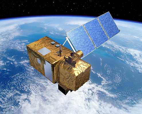
With its 13 spectral bands, 290 km swath width and high revisit frequency, SENTINEL-2’s MSI instrument supports a wide range of land studies and programmes, and reduces the time required to build a European cloud-free image archive. The spectral bands of SENTINEL-2 will provide data for land cover/change classification, atmospheric correction and cloud/snow separation.
Source:
https://sentinels.copernicus.eu/web/sentinel/missions/sentinel-2/mission-objectives
 https://sentinels.copernicus.eu/
  https://sentinels.copernicus.eu/


 https://sentinels.copernicus.eu/
  https://sentinels.copernicus.eu/
Leave a Reply
Want to join the discussion?Feel free to contribute!