Read more . . .

CORS

Read more.. Register here..

> Multi-constellation with multi-frequencies

> Why you should use the new CORS

> Services & Applications

> Products

ESA Φ-WEEK

REGISTRATION IS NOW OPEN! CLICK HERE TO REGISTER!

11-15 October 2021 | Virtual Event

Happening Now

Read more

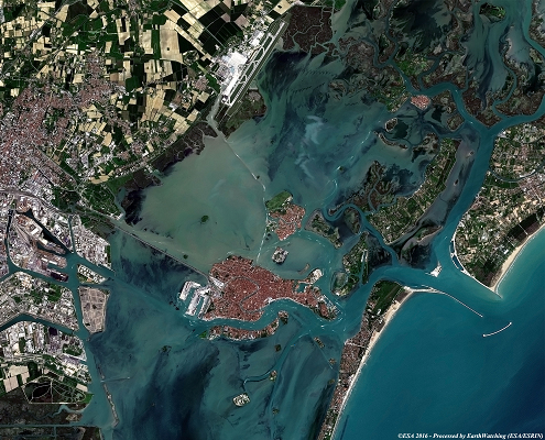
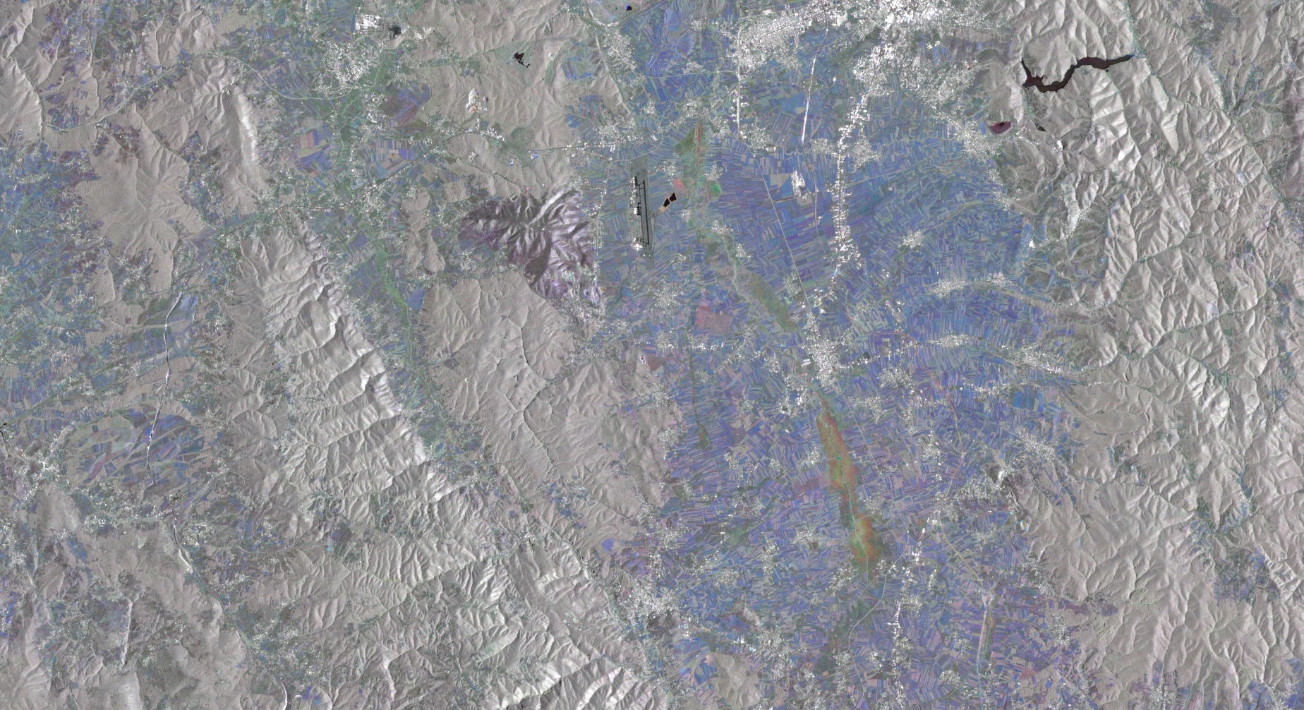
International research center for remote sensing, earth observation and land management

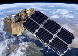
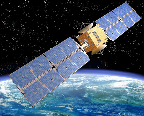
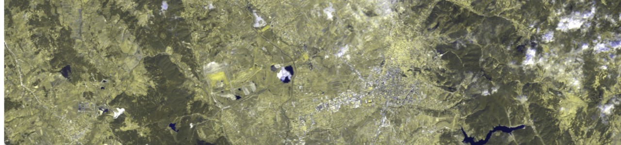
EO4SD – Earth Observation for Sustainable Development – is a new ESA initiative which aims to achieve a step increase in the uptake of satellite-based environmental information in the IFIs regional and global programs. It will follow a systematic, userdriven approach in order to meet longer-term, strategic geospatial information needs in the individual developing countries, as well as international and regional development organizations.

Member of:

Copernicus Academy

EO and Remote Sensing

The relevance of satellite, aerial, UAV imagery distribution, data collection, processing, analyses and interpretation of complex data is to obtain useful information to support decision making, monitoring, control and training.

Earth observation can refer to three main types:

–  In situ surface or subsurface data collection, such as weather stations, sensors on marine buoys and other Internet of            Things devices, which capture information from their immediate surroundings.

–  Non-satellite remote-sensing, such as observations collected by sensors on aircraft or UAVs (including drones).

–  Remote-sensing from sensors on satellites.

Environmental Engineering and Disaster Management

Ecosystems management is an important subset of environmental management. Taking an ecosystems approach to environmental management represents significant progress. An ecosystems approach recognizes that natural processes go beyond administrative boundaries and will entail transboundary management of shared ecosystems. While multiple definitions of ecosystem management exist, its practice encompasses two common objectives: (a) management should maintain or improve ecosystems, and (b) ecosystems should provide a range of goods and services to current and future generations.

EO for Land / Water

Earth observations data are of great importance for analyses and decision-making processes that are critical to promoting food and water security and resilience to recurrent crisis. Because Earth observations provide global, frequent and detailed information about rainfall, temperature, soil, crops, water, forest cover and land use, they help us obtain a better understanding of the conditions in the places where we work, improve targeting of programs to populations in need and conduct evidence-based assessments of whether those programs had their intended benefit.

  • Crop monitoring and detection is high important for paying agencies in transparent subsidies delivery
  • Crop management by using GIS: IACS. Vineyard register and Wine quality Control, Forest Information System

Land management and Cadastre

The role of land in the economy of each nation is not always obvious, but is of great
significance. Without secure land rights there can be no sustainable development, for
there will be little willingness to make long-term investments. Countries in transition
will, in particular, find it difficult to obtain some foreign investment. Modern cadastral information systems and appropriate legislation play an important role in the implementation of rule of law.

  • Land management services
  • Cadastral / Land Information System
  • Property rights and registration
  • Legislation and dispute
  • Expropriation
  • Land consolidation

Agriculture and Forestry

Reflection of various studies on relevant thematic maps.

Who can benefit from Earth Observation Institute

RESEARCH INSTITUTIONS
PUBLIC AUTHORITIES
ACADEMIA
INDUSTRY
STARTUPS
INVESTORS

What’s Coming NExt

Stay connected with us in order not to miss the nest new’s

Observe your world

Earth Observation Institute

About Us

Who We Are

The staff of the Earth Observation Institute are earth scientists, geodesists, GIS, property rights, cadastral, space engineering, business and policy experts, researchers, teachers and students. The institute own research center and several people who collaborate across many disciplines across region and worldwide. We seek to be a strong partner for global earth problems regarding earth geo dynamics, hazard, environment and many other land, soil and water analysis.


What We Do

We use that knowledge to develop policy and engineer practical solutions to our many challenges: climate change and environmental degradation, land, water, soil, natural hazards, the need for clean and accessible energy, water and sanitation, and the sustainable use of resources. We remain as a center for collaboration with international partner following environment and global earth agendas.

And we are educating the next generation of leaders in earth sciences and sustainable development.

.

.

.

  • Department of Remote Sensing

  • Department of GIS

  • Department of land management, property rights and cadastre

  • Department of Environmental Engineering

  • Laboratory of Geodesy

Why EOI?

Our mission is to provide accurate and reliable data based on various observations. These data gives necessary information on different topics. Planning, analysis, monitoring, research, studies, assessments, design, visualization, reports are just some of our services to ensure the most accurate management:

  • remote sensing,
  • forecast and real time climate information,
  • research to improve predictions, preparation and response for disaster management,
  • monitoring and analyses of forestry ,
  • agriculture management,
  • discover, develop and demonstrate of water recourses,
  • creating of thematic maps with large amount of data, etc.

Blog / News