Continuously Operating Reference Stations (CORS)

Multi-constellation with multi-frequencies

Each RKS CORS base station is equipped with a GNSS receiver and a geodetic antenna that are used to record Global Navigation Satellite System (GNSS) observables, which currently comprise of multi-constellation:

  • Global Positioning System (GPS) observables on its L1 C/A, L2C, L2P, L5 frequencies
  • GLONASS (GLN) observables on its L1 C/A, L2 C/A frequencies
  • BeiDou (BDS) observables on its B1I, B2I, B2a, B3I frequencies
  • GALileo (GAL) observables on its E1, E5a, E5b frequencies
  • QZSS observables on its E1, E5a, E5b frequencies
Why you should use the new CORS

So far CORS systems have provided Mountpoints of RTCM3 LEGACY format with message types 1001-1004, 1009-1012, which have enabled the sending of corrections for GPS and GLONASS navigation systems.The new RKSCORS system offers a wide range of Mountpoints, to support corrections from all navigation systems (GPS + GLO + GAL + BDS + QZS) with the latest MSM multiple resolution message formats and resolution high, in order to support all types of GNSS receivers (rovers) with all frequencies.

Services & Applications

Real-time, high-precision positioning services

Accuracy
position 3D: ± 1 cm

Correction data
format RTCM 3.3

Clock rate
1 Hz

Satellite systems
GPS, GLONASS, BeiDou, Galileo, QZSS

Transmission
technology NTRIP (Networked Transport of RTCM via Internet Protocol) via cellular radio / mobile Internet (GPRS, UMTS, LTE)

Equipment
two-frequency GNSS receiver (suitable for processing RTCM correction data)
cellular modem and a SIM card

Areas of application
Real estate surveying, construction and engineering surveying, machine control, precision farming, hydrography and sea surveying

Products

  • NRTK- NTRIP

    Real-time, high-precision positioning services

  • GPPS/PPK

    Upload your observation and process it in our server with Geodetic Postprocessing Positioning Service/Post-Processing Kinematic

  • RINEX

    Download rinex data

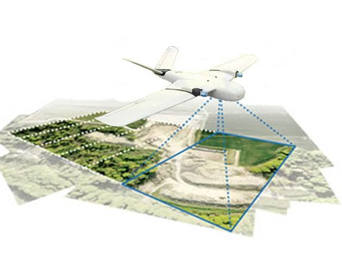
  • Aerial Surveying

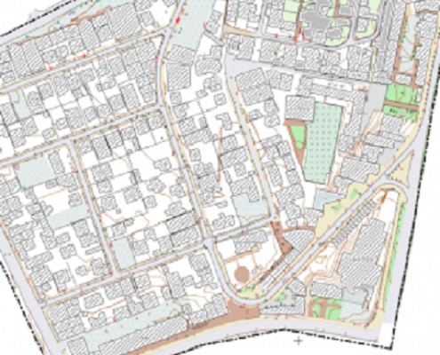
  • Cadastral Surveying

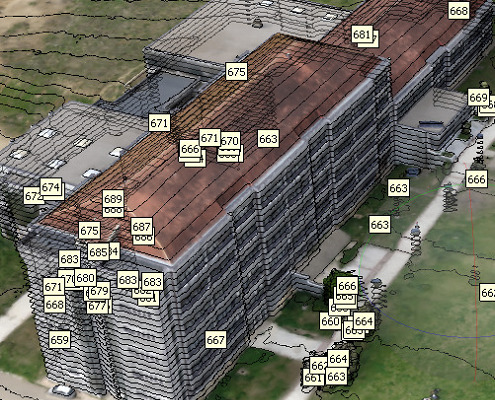
  • Engineering & Construction Surveying

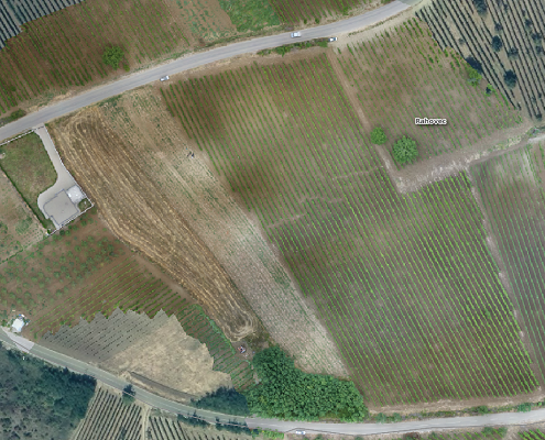
  • Agriculture & Forestry

  • Mobile Mapping

Which applications are supported?

The areas of application of the RKSCors services are as exciting as they are diverse.

The areas of application of the RKSCors NRTK range from classic cadastral surveying, engineering and construction surveying, GIS data acquisition, hydrographic applications and shipping to the automated control of agricultural and construction machinery.

The RKSCors GPPS is used where the highest levels of accuracy are required. Be it in the post-processing evaluation of aerial flights or scan data, mobile mapping applications as well as in the context of geodynamic investigations and monitoring tasks.

Regardless of the application, the proven RKSCors services provide you with GNSS correction data of the highest quality and help you to carry out your measurement processes and tasks efficiently and purposefully.