Sentinel-2 Observation Scenario
The Sentinel-2 MSI observation scenario implements a pre-defined Sentinel High Level Observation Plan (HLOP), and is focused on delivering the observation requirements for the Copernicus services. The Sentinel HLOP can be found here.
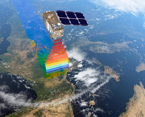
Observation Scenario
For more information on the mission coverage please visit the Revisit and Coverage section of the User Guide.
The Sentinel-2 mission systematically acquires data over land and coastal areas in a band of latitude extending from 56° South (Isla Hornos, Cape Horn, South America) to 82.8° North (above Greenland):
- all coastal waters up to 20 km from the shore
- all islands greater than 100 km2
- all EU islands
- the Mediterranean Sea
- all closed seas (e.g. Caspian Sea).
In addition, the Sentinel-2 observation scenario includes observations following member States or Copernicus Services requests (e.g. Antarctica, Baffin Bay).
Calibration Scenario
In addition to the nominal acquisition mode, and in order to maintain the performance of the instrument during the mission lifetime, at regular intervals throughout the Mission the instrument is placed in one of two Calibration modes:
- Dark signal calibration: image acquisition when the instrument is traversing the eclipse (dark) phase of the orbit. Dark signal calibration occurs every two weeks.
- Sun signal calibration: image acquisition when the instrument is in the day part of the orbit. Sun signal calibration occurs every four weeks.
Source: https://sentinels.copernicus.eu/web/sentinel/missions/sentinel-2/observation-scenario
 https://sentinels.copernicus.eu/
  https://sentinels.copernicus.eu/

 https://sentinels.copernicus.eu/
  https://sentinels.copernicus.eu/

Leave a Reply
Want to join the discussion?Feel free to contribute!