 https://sentinels.copernicus.eu/
Sentinel Thematic Areas – Land Monitoring
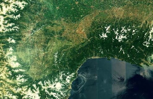
The role of the Sentinel missions is to provide timely, continuous and independent data on the use of land as a resource, and to support the management and monitoring of its ability to withstand increasing socio-economic pressures. Land monitoring covers a wide range of resources and associated policies:
- soils
- water
- agriculture
- forests
- ecology sites
- energy and utilities
- built-up area,
- recreation
- industrial infrastructures
- transport needs
The Sentinel missions provide data support to federal, national and local studies and activities, and are pivotal in helping address a variety of policy areas.
- Sentinel-1 provides an all-weather, day-and-night radar imaging capability for Copernicus land and ocean services. More on Sentinel-1’s land monitoring applications can be found in the User Guide.
- Sentinel-2 provides high resolution optical image data to support Copernicus Land Monitoring studies, including the monitoring of vegetation, soil and water cover, as well as observation of inland waterways and coastal areas. More information on Sentinel-2’s land monitoring applications can be found in the User Guide.
- Sentinel-3‘s main mission is to provide a multi-instrument capability to support the accurate parameterisation of such topics as land-surface temperature and land colour. The Land Monitoring applications of the OLCI and SLSTR instruments onboard Sentinel-3 are detailed in the User Guide for OLCI and SLSTR, and the support from the combined can be found OLCI/SLSTR Synergy (SYN) product. More on the land monitoring applications of SRAL – Sentinel-3’s Altimetry mission – are also detailed in the User Guide.
Specific Areas – Land Monitoring
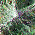
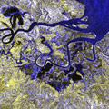
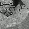
Land Cover, Use and Change Detection Mapping – Land cover is the material that covers the Earth’s surface, such as vegetation and water. Satellites can be used to monitor how this land cover is being used and detect changes to the land over time.
Bio-geophysical Variable Mapping – Bio-geophysical parameters are biological, geological and physical terms that play a role in the Earth’s land, such as plant species, soil types, and heat and light. Variable mapping studies these parameters and how they change over time.
Risk Mapping – Identifying risks on land and in water can be a vital tool for prevention and for providing solutions. Satellites can provide invaluable views from a higher perspective, and help to analyse risks.
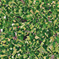
Precision Farming – Precision farming utilising satellite data is a method of managing farms with a high degree of accuracy. Satellite observations can precisely track variations in fields and provide statistics which can be used to determine what tools, practices and decisions may be best for a farm.
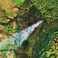
Forest Monitoring – The world’s forests play an important role in the climate, and so monitoring them is a useful indication of how the climate may be changing. It is also useful for tracking both deforestation and forestation.

Desertification – Desertification is the process by which land becomes increasingly dry, until the moisture in the land is depleted. This leads to the eventual absence of vegetation and the animals that thrive in such conditions.
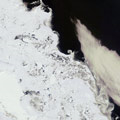
Snow & Ice – One tenth of Earth’s surface is permanently covered in ice, but snow and ice is present across the world at varying amounts during the seasons. This process of ice forming and melting is an important indication of climate change, and satellites play a vital role in tracking this.
Source: https://sentinels.copernicus.eu/web/sentinel/thematic-areas/land-monitoring